 PlaceTube
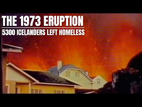
50 Years Since the Horrible 1973 Eruption - Before/After Image Blending & More
Open in PlaceTube Watch on YouTube
Places in this video
- Heimaey ▶ 1:35
The presenter blends aerial photos of Heimaey to show how the island grew from 11.2 to 13.44 square kilometers after the 1973 eruption, and how it was made green again.
- Grindavík ▶ 5:24
Many of the timber emergency houses for the islanders were placed in the fishing village of Grindavík, which was nearly evacuated last year due to magma uplift.
- Þorlákshöfn ▶ 5:24
The presenter says most of the imported timber houses were placed in the fishery villages Grindavík and Þorlákshöfn by the south coast.
- Emergency Fund Pier ▶ 5:59
The pier in Grindavík was built for the Vestmannaeyjar fishing fleet and is called the Emergency Fund Pier, with the Fagradalsfjall eruption in the background.
- Fagradalsfjall ▶ 5:59
The presenter points out the Fagradalsfjall eruption visible in the background behind the pier in Grindavík.
- Eldfell ▶ 6:36
The older volcano beside the new one on the island is believed to be around 5500 years old, and the presenter notes eruptions will happen there again.
- Surtsey ▶ 6:53
The presenter mentions that the famous Surtsey eruption occurred just nearby in 1963 and that the island is still standing.
- Tjörnes Fracture Zone ▶ 7:32
The presenter recalls feeling the last large earthquake on the Tjörnes Fracture Zone in 1976, during a rifting episode that led to nine eruptions between 1975 and 1984.