 PlaceTube
LET'S GET TO KNOW DAGESTAN IN ALL ITS DETAILS
Open in PlaceTube Watch on YouTube
Places in this video
- Dagestan ▶ 0:00
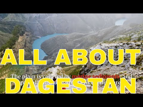
The video gives an overview of the Republic of Dagestan in southwestern Russia, on the western shore of the Caspian Sea, describing its geography, climate, ethnic groups and history.
- Makhachkala ▶ 0:00
The capital of Dagestan and its chief port, with industry centred on petroleum and natural gas nearby.
- Greater Caucasus ▶ 0:16
The southern half of the republic consists of the Caucasus Mountains at their widest, with peaks like Mount Guton and Mount Bazardyuzyu.
- Mount Bazardyuzyu ▶ 0:16
Mentioned as one of the highest peaks along Dagestan's southern boundary, rising to 14,652 feet.
- Sulak River ▶ 0:41
The interior highland is cut by deep valleys of rapid rivers flowing to the Caspian, notably the Sulak, Samur and Kurakh.
- Samur River ▶ 0:41
Named among the rapid rivers that carve deep valleys through the Dagestan Interior Highland.
- Caspian Sea ▶ 1:36
A narrow coastal plain lies between the mountains and the Caspian Sea, and fishing is important along the sea.
- Terek River ▶ 1:54
The low swampy plain in the lower course and delta of the Terek River forms the fourth region of Dagestan.
- Agrakhan Peninsula ▶ 1:54
A long, sandy peninsula just off the Terek's delta.
- Nogay Steppe ▶ 2:11
North of the Terek, Dagestan broadens into the rolling sandy plain of the Nogay steppe, a hot, dry semidesert.
- Kuma River ▶ 2:11
The Kuma River forms the republic's northern boundary.
- Derbent ▶ 3:03
Listed among the republic's chief cities.
- Kizlyar ▶ 3:03
Listed among the republic's chief cities (transcribed as "Kislyar").
- Izberbash ▶ 3:03
Listed among the chief cities, with industry centred on petroleum and natural gas.
- Buynaksk ▶ 3:03
Listed among the republic's chief cities.
Cities in these videos
Makhachkala · Derbent · Kizlyar · Izberbash · Buynaksk