 PlaceTube
Chetco River
Brookings, United States · Videos: 3 · Map
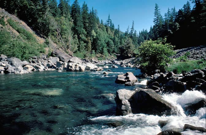
River in Oregon, United States
The Chetco River is a 56 miles stream located in the southwestern portion of the U.S. state of Oregon. It drains approximately 352 mi2 of Curry County. Flowing through a rugged and isolated coastal region, it descends rapidly from about 3,200 feet to sea level at the Pacific Ocean. Except for the lowermost 5 miles, the river is located entirely within the Rogue River – Siskiyou National Forest. The river rises in the Kalmiopsis Wilderness, northwest of Chetco Peak at the junction of the Oregon Coast Range and the Klamath Mountains. It flows generally north, west, and then southwest, before…
What travel creators say
The river runs out of the Kalmiopsis backcountry and its water reads pale jade over stone up in the headwaters; salmon and steelhead push up it in season, and Oregon's northernmost coast redwoods grow along its banks.
Water so clear you can count stones on the riverbed, flowing from the Kalmiopsis Wilderness to the Pacific at Brookings.
The presenter crosses the bridge over the Chetco River, whose mouth is credited with the warm 'Brookings effect' weather.