 PlaceTube
Al-Ghab Plain
Hama Governorate, Syria · Videos: 1 · Map
Area of the al-Suqaylabiyah District in western Syria
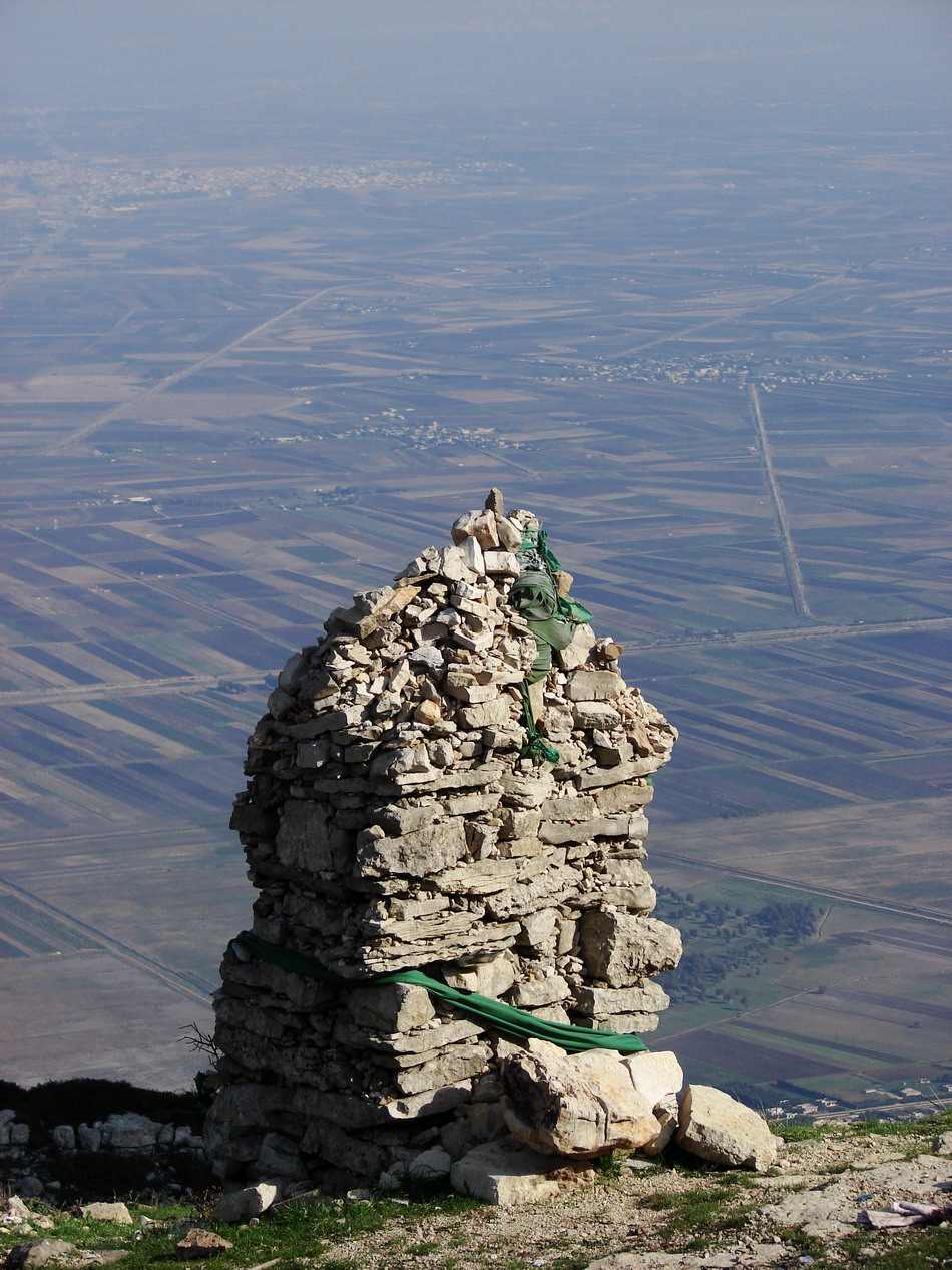
The Ghab Plain (سَهْلُ ٱلْغَابِ, literally: Forest Plain) is a fertile depression lying mainly in the al-Suqaylabiyah District in western Syria. The Orontes River, flowing north, enters the Plain near Muhradah, around 25 km north-west of Hama. The valley was flooded for centuries by the waters of the Orontes River, which rendered it a swamp. The "Ghab project", beginning in the 1950s, drained the valley to make it habitable, arable land, providing an extra 41,000 hectares of irrigated farmland. The valley separates the al-Ansariyah mountains in the west from the Zawiyah mountain range and the…
What travel creators say
From videos in other languages
سهل الغاب يظهر خلف جبل الزاوية ويوصف بأنه خزان الزراعة لجزء كبير من الشعب السوري.