 PlaceTube
Pasir Ris
Singapore, Singapore · Videos: 7 · Map (Approximate location)
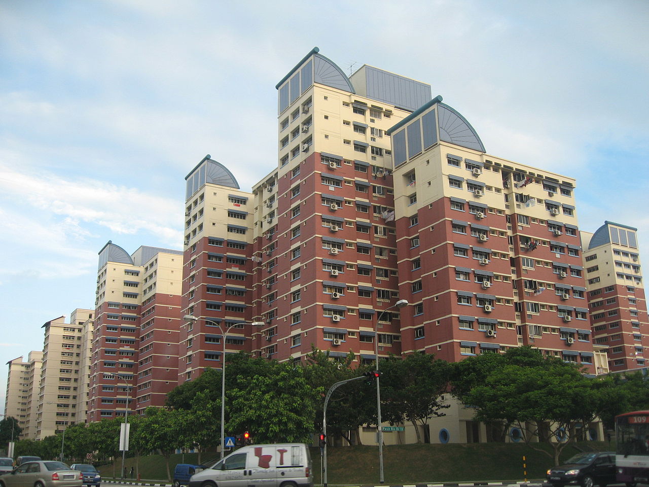
Planning area and residential town in East Region, Singapore
Pasir Ris (or) is a planning area and residential town located in the East Region of Singapore. It is bordered by Tampines and Paya Lebar to the south, Sengkang to the southwest and Changi to the east. The planning area also shares riverine boundary with Punggol to the west, separated by the Serangoon River, as well as having a maritime boundary with the North-Eastern Islands planning area, across the Straits of Johor. Like other new towns, public transport facilities were factored into the development of Pasir Ris. Pasir Ris is easily accessible via bus services at Pasir Ris Bus Interchange…
What travel creators say
The cycling route runs from Changi Village to Pasir Ris, exploring the coastal parks and hidden gems of Singapore's northeast.
The cycling route continues through Pasir Ris before heading to Tampines.
The walk begins in Pasir Ris Central, a neighborhood hub in eastern Singapore.
The tour also features Pasir Ris, a residential town in eastern Singapore.
The walk explores the Pasir Ris residential town and its beachfront.
The ride starts in Pasir Ris, a residential town in eastern Singapore, along the Park Connector Network.
From videos in other languages
Titik awal perjalanan menuju Pulau Ubin, tempat presenter memulai perjalanan pagi.