 PlaceTube
Couesnon
Beauvoir, France · Videos: 7 · Map
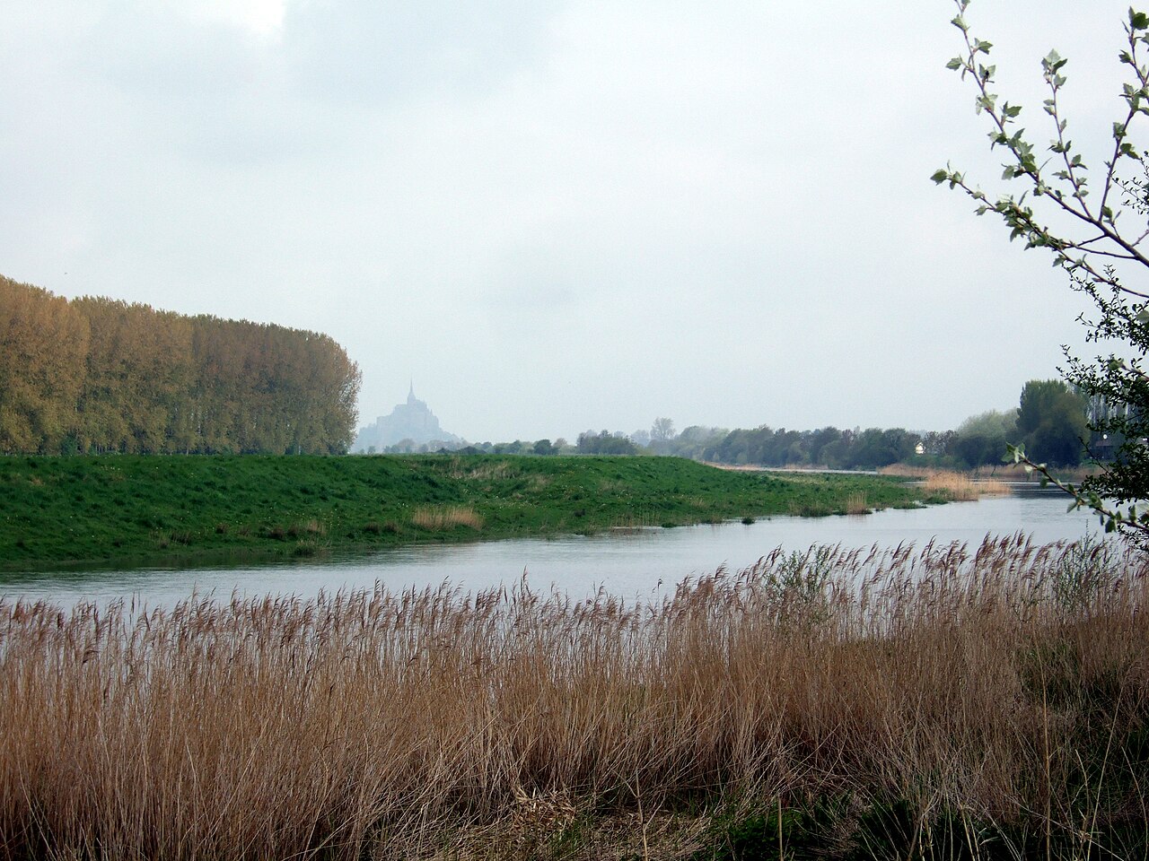
River in France
The Couesnon (Kouenon) is a river running from the département of Mayenne in north-western France, forming an estuary at Mont-Saint-Michel. It is 97.8 kilometres long, and its drainage basin is 1,124 square kilometres. Its final stretch forms the border between the historical duchies of Normandy and Brittany. Its historically irregular course, shifting between two beds to the north and south of Mont-Saint-Michel until eventually settling on the southern one, inspired the saying Le Couesnon en sa folie mit le Mont en Normandie (“The Couesnon in its madness placed the Mont in Normandy") as the…
What travel creators say
The eight-gate dam on the Couesnon acts as a drainage system, flushing sediment out to sea to combat silting around the mount.
From videos in other languages
Der beste Blick für die Totale ist nicht auf der Insel selbst, sondern vom Ufer des Flusses Couesnon bei den Staudämmen, wo sich der Berg perfekt im Wasser spiegelt.
土砂の堆積で海に浮かぶ姿が失われる危機を回避するために作られたダム。満潮時に海水を取り込み、干潮時に放出して土砂を洗い流す仕組みを解説。
Le guide et surfeur Stéphane Guéno attend le mascaret dans cette rivière pour tenter de prendre la vague et surfer plusieurs minutes.
Zuerst geht es zum Staudamm am Couesnon, der 2006–2009 erbaut wurde und mit seinen Schliess- und Öffnungszeiten das Wasser gezeitenabhängig dosiert abgibt.
南のテラスから見える川。この川を境に右側がブルターニュ地方、左側がノルマンディー地方だと説明される。
橋の隣を流れる川。この川を境に右側がブルターニュ、手前がノルマンディーで、ここが両地方の境界になっている。