 PlaceTube
San Antonio River
San Antonio, United States · Videos: 2 · Map
River in US
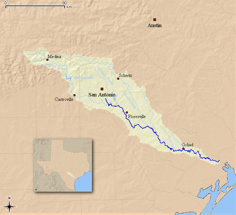
The San Antonio River is a major waterway that originates in central Texas in a cluster of springs in midtown San Antonio, about 4 miles north of downtown, and follows a roughly southeastern path through the state. It eventually feeds into the Guadalupe River about 10 miles from San Antonio Bay on the Gulf of Mexico. The river is 240 miles long and crosses five counties: Bexar, Goliad, Karnes, Refugio, and Wilson.
What travel creators say
The video traces the river from its springs in Central Texas through the city, noting its history with Native American communities and Spanish missions, its role in flood control and its fame as the River Walk.
From videos in other languages
主持人介绍圣安东尼奥河是一条美丽的河,横穿整个市区,河两岸有高楼大厦,但最有特色的是林荫小道和各种餐厅、咖啡馆。