 PlaceTube
Parnitha
Athens, Greece · Videos: 5 · Map
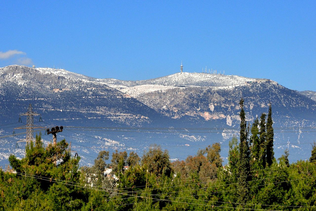
Mountain range in Attica, Greece
Mount Parnitha (Πάρνηθα,, Katharevousa and Πάρνης Parnis/Parnes; sometimes Parnetha) is a lightly forested mountain range north of Athens, the highest on the peninsula of Attica, with an elevation of 1,413 m, and a summit known as Karavola (Καραβόλα). Much of the mountain is designated a national park, and is a protected habitat for wildfowl, first created in 1961. The summit is located 18 km north of Acharnes and about 30 km north of the Athens city center. The mountain covers approximately 250 km2 of land. Other peaks include Mavrovouni (Μαυροβούνι), Ornio (1,350 m), Area (1,160 m), Avgo or…
What travel creators say
At 1,415 m the highest peak in Attica, with open-air restaurants in the towns along the road and a cable car to the Agia Trias resort.
A lush mountain a short drive from Athens with diverse hiking trails and outdoor activities, from leisurely strolls to strenuous hikes.
From videos in other languages
Τρώνε σε ένα τραπεζάκι με θέα προς την Πάρνηθα, μιλούν για το πράσινο, τον καθαρό αέρα και τη θέα στο βουνό.
A 1415 méteres Parnisz Attika legmagasabb hegycsúcsa; a hegyre kanyargó szerpentinút mellett Ana és Metohi települések kertvendéglői vannak, a csúcs alatti Trias üdülőtelepre drótkötélpályán is felmehetünk.
Atina yakınlarındaki Parnitha Dağı'nın batı eteklerindeyiz, 10 kilometrelik bir rotamız var.