 PlaceTube
Caloosahatchee River
Fort Myers, United States · Videos: 9 · Map
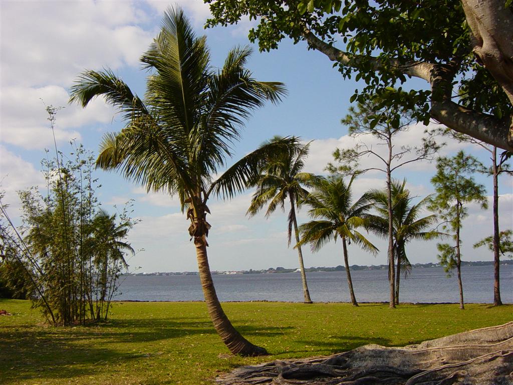
River on the southwest coast of Florida, US
The Caloosahatchee River is a river on the southwest Gulf Coast of Florida in the United States, approximately 67 miles long. It drains rural areas on the northern edge of the Everglades, east of Fort Myers. An important link in the Okeechobee Waterway, a manmade inland waterway system of southern Florida, the river forms a tidal estuary along most of its course and has become the subject of efforts to restore and preserve the Everglades.
What travel creators say
They pop out into the Caloosahatchee River at the start of the trip and later battle rough beam seas on it heading home.
The vital waterway connecting Fort Myers to Cape Coral, flowing out into San Carlos Bay and the Gulf of Mexico, praised for boating, fishing and sunsets.
The presenter recommends a sunset dolphin cruise on the river, watching bottlenose dolphins and the sun setting over the water.
The presenter suggests renting a boat to explore the canals and head out onto the Caloosahatchee River, noting the waterway can be shallow in places.
The city has no coastline but instead seven miles of riverfront on the north side of the Caloosahatchee River.
During an unusually rainy winter, billions of gallons of nutrient-rich Lake Okeechobee water were pumped west through the Caloosahatchee River, polluting the estuaries.
From videos in other languages
O rio Caloosahatchee atravessa Fort Myers e conduz até o Golfo do México, definindo o ritmo local, aquático e suave.
El río Caloosahatchee atraviesa Fort Myers y desemboca en el Golfo de México, definiendo el ritmo local acuático y suave.
El presentador menciona que desde el porche de la casa de Edison se disfruta de una hermosa vista del río Caloosahatchee, muy cerca de la vivienda.