 PlaceTube
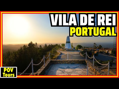
Vila de Rei: Portugal's Mesmerizing Geodesic Center
Open in PlaceTube Watch on YouTube
Places in this video
- Church of Santa Maria ▶ 1:47
The presenter notes this church was likely built in the 13th and 14th centuries and was desecrated and severely damaged by Napoleon's soldiers in 1807.
- Rua Direita ▶ 2:06
One of the narrow cobbled streets the presenter walks along in the old town.
- Rua Capitão-Mor ▶ 3:24
The presenter walks this street while explaining the town's population and its name, granted a royal charter by King Dinis in 1285.
- Misericórdia Church ▶ 5:23
A 17th-century church the presenter points out while noting the crosses of the Order of Christ and the Knights Templar.
- Rua Rainha Santa Isabel ▶ 6:02
The presenter strolls this street lined with traditional houses and narrow cobbled lanes exuding old-world charm.
- Rua de São João de Deus ▶ 7:25
The presenter walks this street, noting a mysterious symbol whose meaning he promises will become clear.
- Rua Dr. Eduardo de Castro ▶ 11:20
The presenter walks this street while discussing Portugal Day and the poet Luís de Camões.
- Rua da Igreja ▶ 15:36
The presenter passes along this street by the Main Church of Vila de Rei before heading to the geodesic center.
- Main Church of Vila de Rei ▶ 15:36
The town's main church, seen on Rua da Igreja as the presenter wraps up the town walk.
- Picoto Geodesic Center of Portugal ▶ 16:23
Located 3 km from the town center, this landmark marks the point equidistant from Portugal's northern, southern, eastern and western extremities; built in 1802, it offers panoramic views at about 600 m altitude.