 PlaceTube
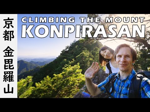
VLOG 2: Ohara day 1, Hiking Mt. Konpirasan (Kyoto, Japan) 大原、京都
Open in PlaceTube Watch on YouTube
Places in this video
- Kamogawa River ▶ 0:01
The presenter stands by the Kamogawa river in Kyoto at the start of the vlog, noting it is going to be a very hot day.
- Ohara ▶ 0:24
The presenter explains they are heading to Ohara, a small village in the north of Kyoto where they will see lots of nature and climb Mt. Konpirasan.
- Mount Konpirasan ▶ 0:30
They climb Mt. Konpirasan, 573 meters high, with about 700 meters of elevation gain over roughly eight kilometers, reaching the top where a torii gate stands.
- Demachiyanagi Station ▶ 2:44
They arrive at Demachiyanagi Station on the Keihan Line and plan to take a bus from here to Ohara, first buying water for the hike.
- Todera ▶ 5:57
They get off the bus four stops early at a small village called Todera, close to Ohara, to hike over the mountain to their lodging.
- Ebumi Jinja ▶ 10:16
Just after entering the forest they reach the first shrine, Ebumi Jinja, one of many shrines and temples hidden in the forests north of Kyoto.
- Kotohira Shingu Shrine ▶ 18:40
After a lunch break and about an hour and a half in the forest they reach Kotohira Shingu Shrine, which feels abandoned and can only be reached on foot.
- Ohara no Sato ▶ 35:40
They stay overnight at the traditional ryokan Ohara no Sato, with a Japanese-style room with futons, a garden view, dinner and a hot spring bath.