 PlaceTube
The Ultimate Driving Guide for Valley of Fire, Nevada
Open in PlaceTube Watch on YouTube
Places in this video
- Valley of Fire State Park ▶ 0:01
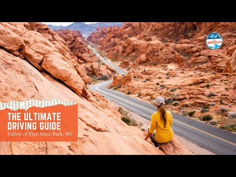
The video is a driving guide to this roughly 46,000-acre Nevada state park, which the presenter says you can see most of in a single day.
- Beehives ▶ 0:35
The first stop, about a mile and a quarter past the front gate: tall sandstone formations shaped by the elements, with an information kiosk in the parking lot.
- Atlatl Rock ▶ 1:33
Reached by a left at a three-way intersection, this stop has a staircase up to a platform with a 180-degree valley view and petroglyphs over 4,000 years old.
- Arch Rock ▶ 2:15
A short distance down the street, an arch that is easy to see from the car and grab a quick picture of.
- Fire Cave and Windstone Arch ▶ 2:28
A recommended longer stop with an eroded fire cave and many other uniquely eroded rocks that are fun to explore and very photogenic.
- Seven Sisters ▶ 3:23
Seven sandstone towers with covered picnic tables and restrooms, a good place for a picnic and shade on a hot day.
- Elephant Rock ▶ 3:54
Park at the small lot by the back entrance and walk 0.3 miles round trip along the road shoulder to this fragile formation, with sandstone caves and an overlook nearby.
- Mouse's Tank Scenic Road (White Domes Scenic Byway) ▶ 4:53
Also known as the White Domes Nevada Scenic Byway, this entire road snakes through mountains and valleys and is great for landscape photos from hilltop pullouts.
- Rainbow Vista Viewpoint ▶ 5:46
An iconic photo spot along the scenic road; the walk to the narrow top is steep but the view is one of the presenter's favorites in the park.
- Fire Canyon / Silica Dome Overlook ▶ 6:50
A quick stop just down the street from Rainbow Vista with an easy-to-reach overlook and a striking line between white boulders and chocolate-colored mountains.