 PlaceTube
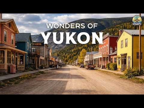
Wonders of Yukon | The Loneliest Place on Earth | Travel Video 4K
Open in PlaceTube Watch on YouTube
Places in this video
- Kluane National Park and Reserve ▶ 1:09
The video introduces Kluane National Park and Reserve, established in 1972, covering 22,016 square kilometers, with mountains and glaciers dominating 82% of its landscape and forming a UNESCO World Heritage Site.
- Emerald Lake ▶ 3:16
Emerald Lake, on the South Klondike Highway, is celebrated for its intense blue-green water, once known as Rainbow Lake, colored by sunlight reflecting off white marl deposits on the lake bed.
- Tombstone Territorial Park ▶ 5:14
Tombstone Territorial Park spans 2,200 square kilometers of rugged mountain peaks, permafrost landforms and wildlife, reached via the unpaved Dempster Highway and spectacular in early fall.
- Yukon River ▶ 6:40
The Yukon River is described as the third longest river in North America, flowing from British Columbia through Yukon and Alaska to the Bering Sea, and historically a key route during the Klondike Gold Rush.
- Lake Laberge ▶ 9:04
Lake Laberge, just north of Whitehorse, stretches 50 km long and up to 146 m deep, formed during the last ice age as a widening of the Yukon River, with cold water and sudden storms.
- Takhini River ▶ 11:14
The Takhini River, north of Whitehorse, flows west to east to meet the Yukon River and freezes over in winter, becoming part of the Yukon Quest sled dog race route.
- Dawson City ▶ 12:31
Dawson City, once called the Paris of the North, retains its gold rush atmosphere with dirt streets and historical boardwalks, popular walking tours, and summer golf under the midnight sun.
- Carcross ▶ 14:46
Carcross is a tiny town of under 300 residents covering only 0.29 square miles, known for the nearby Carcross Desert often called the world's smallest desert.
- Carcross Desert ▶ 15:03
The Carcross Desert, just north of town, is often called the world's smallest desert, with dunes formed from the sandy remains of an ancient glacial lake and home to rare plants like the Yukon lupine.
- Ogilvie Mountains ▶ 17:25
The Ogilvie Mountains north of Dawson City are a prominent range crossed by the Dempster Highway, with rounded eroded hills, scree-covered peaks, Dall sheep, and some of Canada's coldest winter temperatures.
- Whitehorse ▶ 19:54
Whitehorse, the capital of Yukon, is the territorial travel hub, offering lakes, winter activities like cross-country skiing and dog sledding, summer camping and hiking, and Northern Lights viewing.
- Dempster Highway ▶ 22:19
The unpaved Dempster Highway is an epic two-lane gravel road from Dawson City to Inuvik, following a historic indigenous path, built on a gravel berm over permafrost and passing through Porcupine Caribou wintering range.
- Kathleen Lake ▶ 24:21
Kathleen Lake in Kluane National Park and Reserve has clear waters with kokanee salmon, campgrounds and trails, including the popular King's Throne trail overlooking the lake, with Mount Worthington reflected in its waters.
- Fish Lake ▶ 26:14
Fish Lake, about 15 km southwest of Whitehorse at the end of Fish Lake Road, is a quiet natural area in Kwanlin Dün First Nation territory that freezes into a still, snow-covered winter scene.
- Wright Pass ▶ 29:00
Wright Pass is a remote transboundary pass between Yukon and the Northwest Territories, named after highway engineer Alan A. Wright, with tall steep cliffs and rough terrain.
- Kusawa Lake ▶ 30:39
The video describes a remote, clear glacial lake backed by a year-round snow-covered mountain, with calm, pure water and visible rocks below the surface.
- Bennett Lake ▶ 33:25
Bennett Lake, a large narrow glacial lake in southern Yukon about 80 km southwest of Whitehorse, is deep and cold, surrounded by mountains and wilderness near Skagway.
- Nares River ▶ 36:20
The Nares River, meaning river of clear water in Tagish, is a short waterway from Bennett Lake to Nares Lake near Carcross, passing through the narrow Narrows and supporting migratory fish.