 PlaceTube
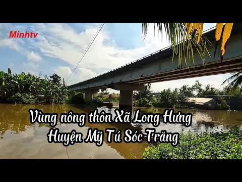
Khám Phá Vùng Nông Thôn Xã Long Hưng Huyện Mỹ Tú Tỉnh Sóc Trăng Trên Hương Lộ 20.
Minh TV ·
Open in PlaceTube Watch on YouTube
Places in this video
- Quan Lo Phung Hiep Route ▶ 0:31
The presenter starts his journey on the Quan Lo Phung Hiep route near My Khanh Bridge before turning onto the rural road below it.
- My Khanh Bridge ▶ 0:31
The bridge on the Quan Lo Phung Hiep route marks the starting point of the Huong Lo 20 countryside route.
- Long Hung Commune ▶ 0:49
A rural commune of My Tu district with 10 hamlets, where people mainly grow rice, raise pigs, chickens and ducks, and where roads are now concreted under the New Rural Program.
- Huong Lo 20 ▶ 1:07
The presenter rides the roughly 10 km Huong Lo 20 route from My Khanh Bridge through Long Hung commune to Huynh Huu Nghia Town, showing rural life along the way.
- Long Hung Market ▶ 1:44
The presenter notes that this direction of Huong Lo 20 leads to Long Hung Market.
- Huynh Huu Nghia Town ▶ 2:35
The administrative center of My Tu district, named after a soldier who died there in 1947, with 5 hamlets and a recognized Urban Civilization standard.
- Huynh Huu Nghia Market ▶ 2:35
The market in Huynh Huu Nghia Town, the endpoint of the route, seen across the road as the presenter ends the video.
- Tan Lap Church ▶ 15:53
A church in Long Hung commune, My Tu, Soc Trang, shown along the countryside route.