 PlaceTube
Capitol Reef National Park Complete Guide: Cassidy Arch, Hickman Bridge & the Scenic Drive
Open in PlaceTube Watch on YouTube
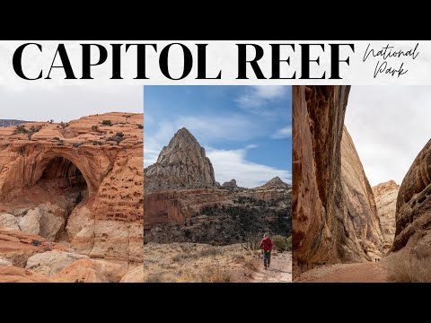
Places in this video
- Pioneer Kitchen ▶ 0:35
The presenter stops here for breakfast before entering the park, ordering trout and eggs and noting it was the only open breakfast spot in town during winter.
- Chimney Rock ▶ 1:06
This was the first point of interest in the park; there's a hiking trail near the top but the presenter just took it in from the road.
- Panorama Point ▶ 1:20
The presenter's first stop after Chimney Rock, offering sweeping views of the park.
- Goosenecks Overlook ▶ 1:32
Reached via a short one-mile dirt road and a five-minute walk, this overlook shows the bends of the river below.
- Fruita Schoolhouse ▶ 2:09
The old schoolhouse was used from the late 1800s until 1941, and the presenter stops to see it in the historic district.
- Fruita Orchards ▶ 2:26
The park has a dozen working orchards where visitors can pick fruit during certain times of the year.
- Petroglyphs ▶ 2:41
The presenter and his dad view well-preserved petroglyphs dated to between 600 and 1300 AD, noting many were destroyed by a rockfall before 1950.
- Hickman Bridge ▶ 3:20
The presenter hikes the most popular trail in the park, a two-mile round trip with about 400 feet of elevation gain, to reach this massive 133-foot-span, 125-foot-high bridge.
- Pectol's Pyramid ▶ 4:07
The presenter points out great views across the way toward Pectol's Pyramid while climbing the Hickman Bridge trail.
- Capitol Reef Visitor Center ▶ 6:20
The presenter stops here and recommends picking up a self-guided driving tour for a couple of bucks to understand the scenic drive.
- Blacksmith Shop ▶ 6:36
The first historic building along the scenic drive in the Fruita historic district.
- Gifford House ▶ 6:52
The famous homestead where pies are sold, but it was closed in winter; the rangers said they sell 70,000 pies a year and often sell out before lunchtime.
- Capitol Reef Scenic Drive ▶ 7:42
The eight-mile scenic drive follows the Waterpocket Fold, a route used for centuries and developed into a wagon route in 1884, with massive rock formations on either side.
- Capitol Gorge ▶ 8:17
An additional two miles of dirt road beyond the paved scenic drive, passable with two-wheel drive, which the presenter calls one of the highlights of the entire park.
- Grand Wash ▶ 9:22
The presenter hikes this flat 2.5-mile-each-way trail through towering sandstone cliffs and a narrow section about 15 feet wide, warning not to do it if rain is forecast.
- Cassidy Arch ▶ 9:39
The presenter hikes this popular trail, 1.5 miles with almost a thousand feet of elevation gain, to an arch sitting about 500 feet above the canyon that you can walk out on.