 PlaceTube
Route 66: The Mountain Grade Cars Climbed in Reverse
Open in PlaceTube Watch on YouTube
Places in this video
- Sitgreaves Pass ▶ 1:17
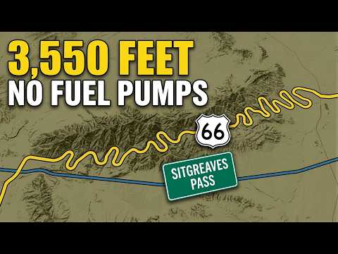
The 3,550-ft mountain pass where Route 66 crossed the Black Mountains between 1926 and 1952, with hairpin turns, no shoulders and almost no guardrail; Model T drivers climbed it in reverse.
- Gold Road ▶ 2:15
A mining settlement that grew up on the grade itself; today its ruins and mine workings are scattered across the mountainside below the pass.
- Oatman ▶ 2:23
A former gold mining town wedged into a desert canyon that became a ghost town after the 1952 realignment and later revived as a tourist town.
- Summit gas station ▶ 5:56
A gas station selling ice cream at the top of the pass that looked like salvation to weary drivers; it burned in 1967, leaving only foundation and anchor bolts.
- Cool Springs Camp ▶ 6:13
A stone building with cabins and a filling station on the eastern slope, run by Floyd Spidle and later family; it burned in 1966 and has since been rebuilt with its original stone pillars.
- Ed's Camp ▶ 6:20
One of the small businesses on the eastern slope whose existence was owed entirely to the mountain being hard to cross.
- Yucca ▶ 8:53
A small railroad settlement on flat ground along Sacramento Wash that Route 66 was realigned through in 1952, bypassing the mountain — only to be bypassed itself by Interstate 40 in 1966.
- Durlin Hotel ▶ 13:26
A hotel standing since Oatman's mining days, one of the sights in the revived town alongside gunfight shows and a soda fountain.