 PlaceTube
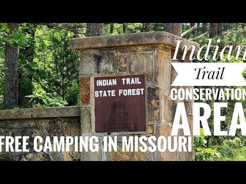
Indian Trail Conservation Area/Trail of Tears/Free Camping in Missouri
Open in PlaceTube Watch on YouTube
Places in this video
- Indian Trail Conservation Area ▶ 0:02
A 13,000-acre conservation area 12 miles northeast of Salem off Highway 19, full of pine trees, with several camping areas, a lake, a shooting range and a fire tower.
- Camping Area 1 ▶ 0:36
The first camping area has a gravel pad, fire ring and picnic table, with another fire ring at the end of the loop.
- Blackwell Lake ▶ 1:10
The lake in the conservation area has a vault toilet, an ADA fishing dock and a boat ramp; the presenters also walk the back side of the lake by the dam and spillway.
- Old Fish Hatchery ▶ 2:31
An old fish hatchery with rearing pools and buildings, now overgrown, near the lake and spillway.
- Camping Area 5 ▶ 4:07
Camping area number five sits up from the lake.
- Trail of Tears – White River Trace ▶ 4:45
The White River Trace portion of the Trail of Tears runs along the road; a plaque notes 13,000 Cherokee were forcibly removed through here, marked by the Dent County Historical Society in 1985.
- Camping Area 3 ▶ 5:39
Camping area three has a picnic table and fire ring and is near the shooting range.
- Shooting Range ▶ 6:13
A shooting range in the conservation area; the dog Bandit does not like the gunfire.
- Camping Area 4 ▶ 6:52
Camping area four is reached by a rough road south of the shooting range, with a toilet and big pine trees.
- Camping Area 2 ▶ 8:58
Camping area two is another dispersed spot not on the map, near the fire tower.
- Fire Tower ▶ 9:45
Dave climbs the fire tower, which most such towers have closed off, and films from the top.