 PlaceTube
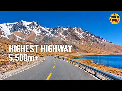
Insane Altitude! Highest Highway at 5,566m — China's G216, Tibet | 4K Drive
Walk China - Driving Channel ·
Open in PlaceTube Watch on YouTube
Places in this video
- Qiere Township ▶ 1:15
The drive begins here at the junction of national highways G349 and G216, in the high plateau of Xizang (Tibet).
- Sangmula Pass ▶ 1:39
The destination of the drive, at a stated elevation of 5,566 metres, identified by official tourism information as the highest point on China's national highway network.
- Dajia Mang Tso ▶ 3:15
One of two separate high-altitude lakes along the G216 corridor, set among broad lake basins and rolling ridges.
- Dajia Tso ▶ 3:15
The second of the two high-altitude lakes along the route, alternating with mountain terrain.
- Dagejia Geothermal Area ▶ 3:39
An important natural feature in Qiere Township known for hot springs and intermittent geysers, revealing geothermal heat beneath the plateau's surface.