 PlaceTube
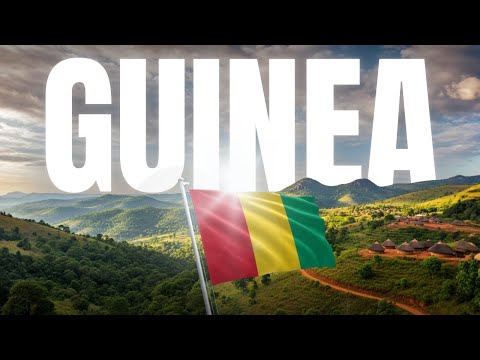
Guinea Explained in 16 Minutes | History, Geography, Culture
Open in PlaceTube Watch on YouTube
Places in this video
- Fouta Djallon ▶ 1:43
The Fulani established dominance over this mountainous west-central region in the 16th century, and it remains important today as a pastoral highland of verdant hills and waterfalls.
- Conakry ▶ 9:07
The national capital sits on Tombo Island and spreads up the Kaloum Peninsula, serving as the country's main port and gateway to the sea.
- Tombo Island ▶ 9:07
The presenter notes that Conakry specifically sits on Tombo Island before spreading up the Kaloum Peninsula.
- Kaloum Peninsula ▶ 9:07
The capital spreads up the Kaloum Peninsula, which forms the coastal gateway to the sea.
- Kakoulima Massif ▶ 9:41
The Fouta Djallon highlands are marked by ancient volcanic structures like the Kakoulima massif.
- Mount Loura ▶ 9:50
The highest point in the Fouta Djallon highlands, soaring to 1,538 meters (5,046 ft).
- Niger Plains ▶ 10:14
Upper Guinea is composed of the Niger plains, a hotter, drier savannah region that gently slopes toward the Sahara, broken only by rounded granite hills.
- Mount Nimba ▶ 10:31
The highest point in all of Guinea at 1,752 m (5,748 ft), located on the border with Liberia and Côte d'Ivoire, with slopes covered in dense forest.
- Mount Nimba Strict Nature Reserve ▶ 11:04
This UNESCO World Heritage site covers much of Mount Nimba's forested slopes and is famous for its incredibly unique and diverse plants and animals.
- Simandou ▶ 11:53
The massive Simandou iron ore project is finally starting to ship exports and is expected to drive around 10% growth between 2026 and 2027.