 PlaceTube
Meramec River
Ballwin, United States · Videos: 1 · Map
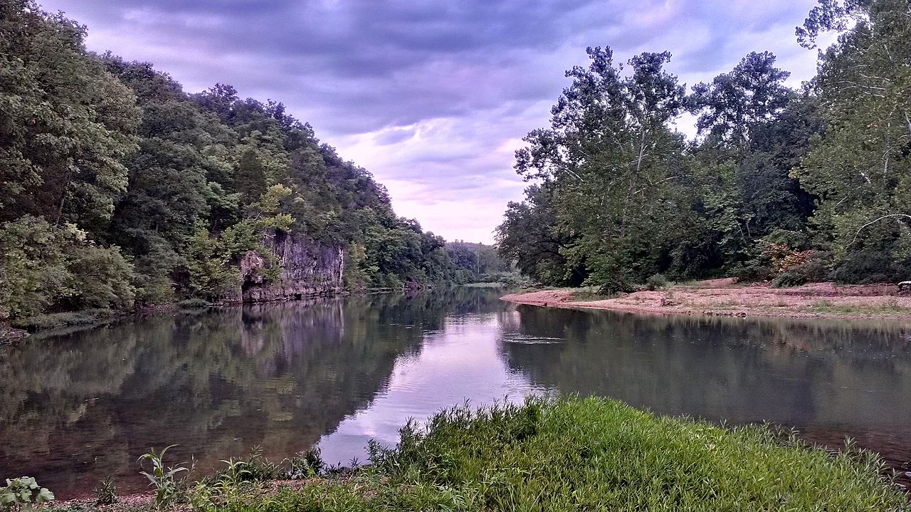
River in the American state of Missouri
The Meramec River, sometimes spelled Maramec River (the original US mapping spelled it Maramec but later changed it to Meramec), is one of the longest free-flowing waterways in the U.S. state of Missouri, draining 3,980 mi2 while wandering 218 miles from headwaters southeast of Salem to where it empties into the Mississippi River near St. Louis at Arnold and Oakville. The Meramec watershed covers six Missouri Ozark Highland counties—Dent, Phelps, Crawford, Franklin, Jefferson, and St. Louis—and portions of eight others—Maries, Gasconade, Iron, Washington, Reynolds, St. Francois, Ste…
What travel creators say
He used to hike up with an inflatable kayak and float back down the Meramec River; flooding a year and a half ago tore up the riverbank and washed trash downstream.