 PlaceTube
Humberhead Levels
Thorne, England · Videos: 1 · Map
National character area in England
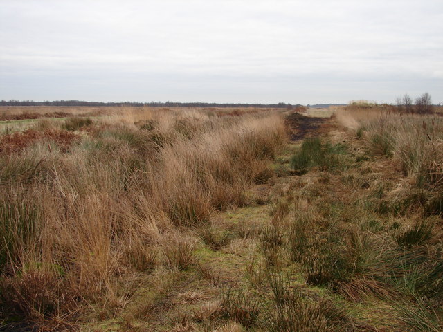
The Humberhead Levels is a national character area covering a large expanse of flat, low-lying land towards the western end of the Humber estuary in northern England. The levels occupy the former Glacial Lake Humber, an area bounded to the east by the Yorkshire Wolds and the northern Lincoln Edge, a limestone escarpment, and to the west by the southern part of the Yorkshire magnesian limestone ridge. In the north the levels merge into the slightly more undulating Vale of York close to the Escrick glacial moraine, and to the south merge into the Trent Vale. ==Glacial Lake Humber== During the…
What travel creators say
A vast 12-square-mile wetland near Thorne with deep peat deposits that attracts migratory birds and other wildlife.