 PlaceTube
Cape Liptrap
South Gippsland, Australia · Videos: 1 · Map
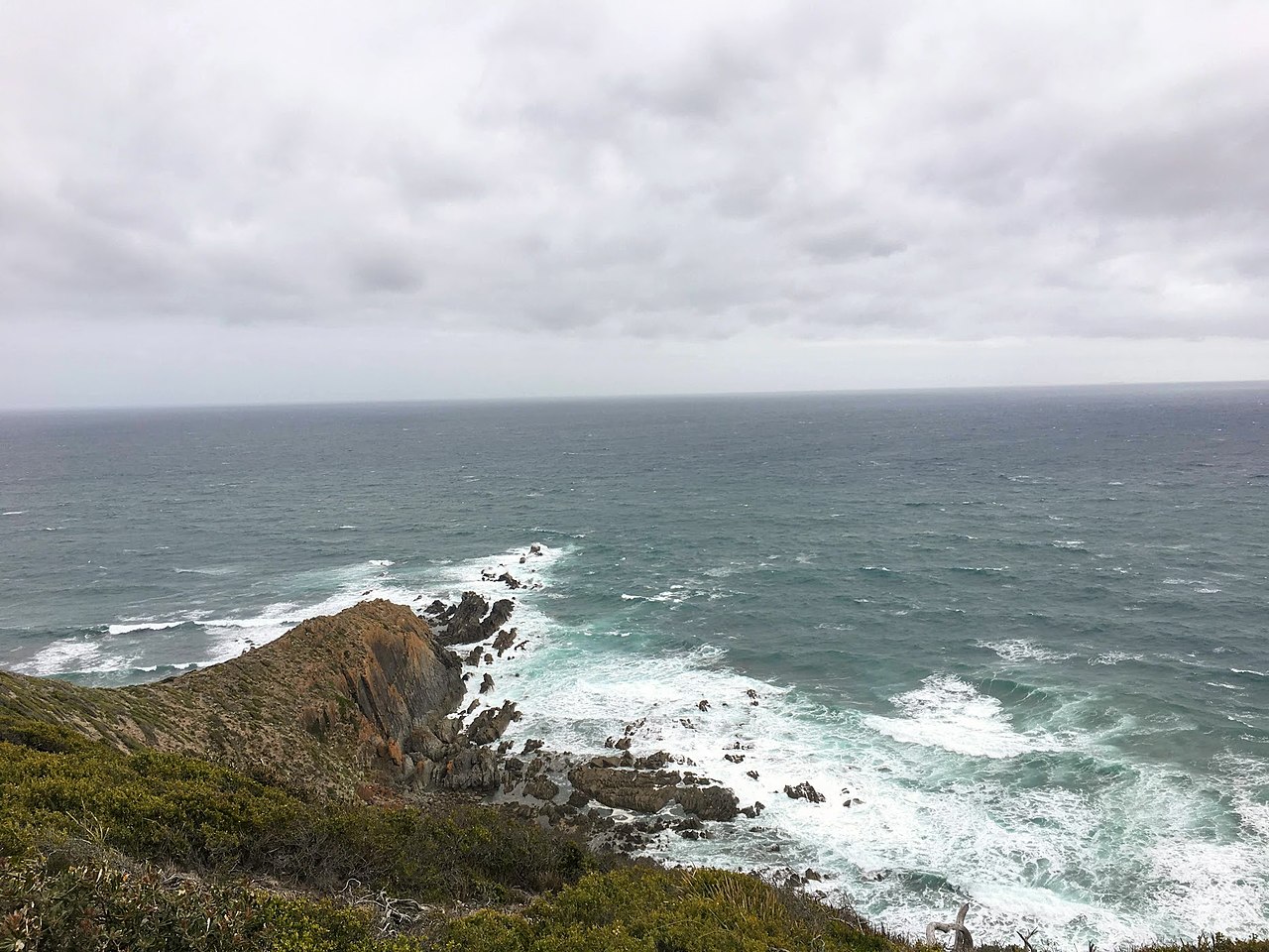
Point in Victoria, Australia
Cape Liptrap is located in south Gippsland, Victoria, and is a peninsula that is the extension of the Hoddle Range that runs out to sea in a southwesterly direction. With a latitude of 38° 53' 60" S it the second most southerly point on the Australian mainland, just south of Cape Otway which lies to the west. Wilsons Promontory, the most southerly point, sits to the southeast separated from Cape Liptrap by Waratah Bay. It was sighted by Lieutenant James Grant on 9 December 1800 from the survey brig HMS Lady Nelson and named after Grant's friend John Liptrap. Cape Liptrap sits high above Bass…
What travel creators say
A rocky coastal headland about 200 km southeast of Melbourne with Bass Strait views, rarely visited beaches, coastal heath walks and a seal colony.