 PlaceTube
Baldy Peak
Eagar, United States · Videos: 9 · Map
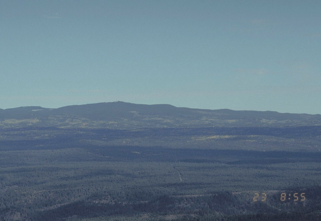
Mountain in Apache County, Arizona, United States
Mount Baldy (Dził Łigai White Mountain) is an extinct stratovolcano in eastern Arizona in the United States. With a summit elevation of 11,409 feet, the peak of Mount Baldy rises above the tree line and is left largely bare of vegetation, lending the mountain its current name. The Mount Baldy Wilderness occupies the eastern slope of the mountain and is managed by the Apache-Sitgreaves National Forest. The summit of Mount Baldy is within the Fort Apache Indian Reservation. It is the highest point in the White Mountains and Apache County. It is the fifth-highest point in the state, and the…
What travel creators say
The presenter notes Mount Baldy can be white-capped with snow in winter, with people snowboarding and skiing up there.
Arizona's second tallest mountain at about 11,400 feet, headwaters of the Little Colorado and Salt Rivers and home to reintroduced Mexican gray wolves.
Described as the second largest mountain in Arizona, located near Greer.
Located in the White Mountains, the second-highest point in Arizona at 11,490 feet.
Matt explains it's about 11,500 feet, with three trails from the trailhead, the longest a 14-mile hike, and calls it one of the top hikes in Arizona.
He says Greer sits right next to Mount Baldy with plenty of forest, hiking, creeks and rivers.
He notes Mount Baldy, Arizona's second tallest mountain, in the White Mountains.
He mentions Mount Baldy near Greer as a place to go up in the White Mountains.
The presenter describes hiking to the 11,403-ft summit, the highest peak in the White Mountains, with 360-degree views of the Apache-Sitgreaves National Forest and a trail starting near Sunrise Ski Resort.