 PlaceTube
Mapun
Mapun, Philippines · Videos: 5 · Map
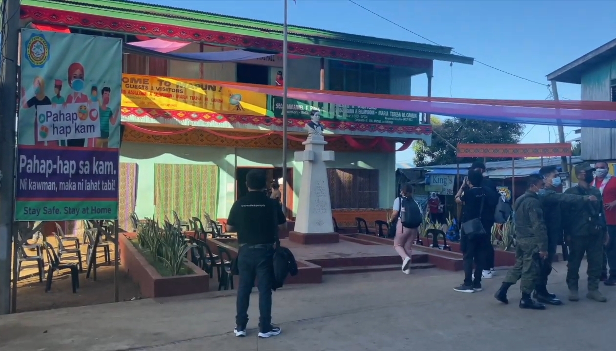
Municipality in Tawi-Tawi, Philippines
Mapun, officially the Municipality of Mapun (Bayan ng Mapun), is a municipality in the province of Tawi-Tawi, Philippines. According to the 2024 census, it has a population of 29,218 people. It was formerly known as Cagayan de Sulu until 1984, then as Cagayan de Tawi-Tawi until 1988. Mapun is an island municipality in the Sulu Sea on the south-western extreme of the Philippines, located very close to Sabah, Malaysia as well as to Palawan. The people inhabiting the island are known as Jama Mapun or "people of Mapun". Their local language is Pullun Mapun, which means "Mapun language". Due to an…
What travel creators say
The video introduces Mapun Island as an isolated speck of land in the middle of the Sulu Sea, 900 km south of Manila, reachable only by wooden cargo vessel and without commercial airports or a modern power grid.
The island the whole documentary is about: a municipality in Tawi-Tawi near the Malaysian border, home to about 29,000 Jama Mapun people, supplied by boat and growing copra.
The remote island of Mapun in Tawi-Tawi comes into view; he learns some local Jama language phrases as the boat approaches the town and port.
The presenter introduces Mapun as the land of indigenous people, the most isolated town in the Philippines, and explains its geography, culture and how it is reached from mainland Palawan, Sabah and Zamboanga.
From videos in other languages
Isang maliit na bayan sa gitna ng dagat sa pagitan ng Palawan at Tawi-Tawi, tahanan ng mahigit 30,000 Jama Mapun at mas malapit sa Malaysia kaysa sa mainland ng Pilipinas.