 PlaceTube
St. Anthony
New Orleans, United States · Videos: 1 · Map
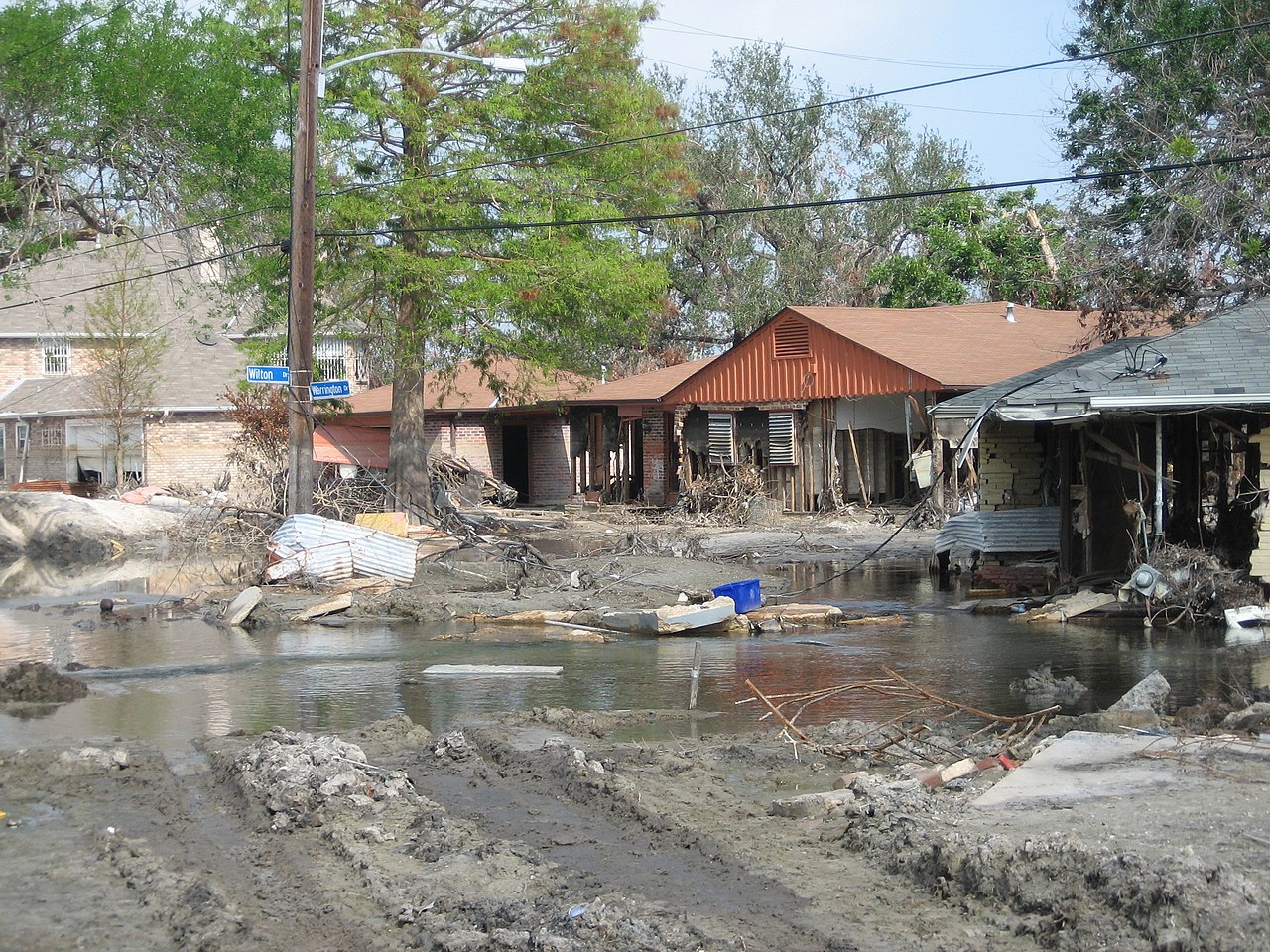
New Orleans Neighborhood in Louisiana, United States
St. Anthony is a neighborhood of the city of New Orleans. A subdistrict of the Gentilly District Area, its boundaries as defined by the City Planning Commission are: New York Street to the north, Elysian Fields Avenue to the east, Mirabeau Avenue to the south and the London Avenue Canal to the west. The neighborhood is part of the Gentilly section of the city as well as the city's 7th Ward. The area experienced disastrous flooding at the end of August 2005 from a levee failure on the London Avenue Canal during Hurricane Katrina.
What travel creators say
At Mirabeau Avenue the neighborhood on the left changes to St. Anthony, while the avenue takes on a greener, more residential appearance.