 PlaceTube
Offa's Dyke Path
Llanymynech, United Kingdom · Videos: 6 · Map (Approximate location)
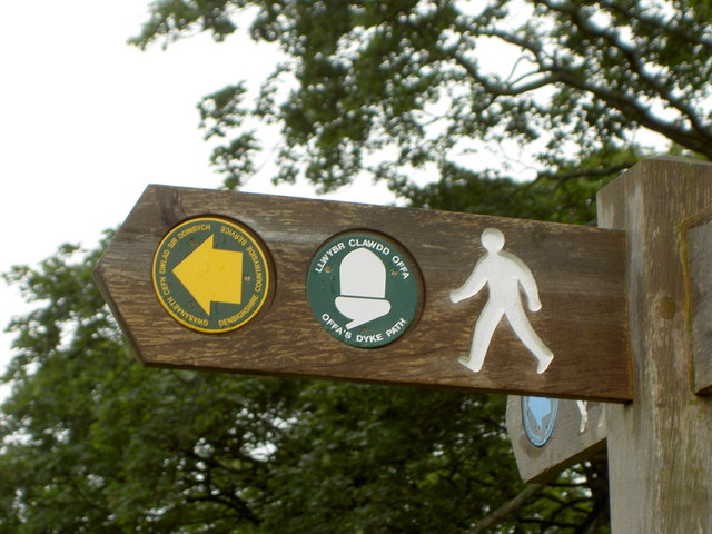
Footpath in Wales and England
Offa's Dyke Path (Llwybr Clawdd Offa) is a long-distance footpath loosely following the Wales–England border. Officially opened on 10 July 1971, by Lord Hunt, it is one of Britain's National Trails and draws walkers from throughout the world. About 60 miles of the 177 miles route either follows, or keeps close company with, the remnants of Offa's Dyke, an earthwork traditionally thought to have been constructed in the late 8th century on the orders of King Offa of Mercia.
What travel creators say
A great section of the national trail runs right by the centre, with information boards on the dyke's history, wildlife and landscape; Knighton sits roughly halfway along it.
The presenter introduces the 177-mile National Trail along the England-Wales border, following an 8th-century dyke built by King Offa, passing through the Brecon Beacons and Clwydian Range.
The long-distance path along the ridge of the Black Mountains marking the official English-Welsh border, with confusing sheep tracks and sudden savage weather.
He notes that the Offa's Dyke Path passes by the canal here as he crosses back into England.
A 177-mile National Trail with about 28,000 feet of ascent linking Prestatyn with Sedbury Cliffs near Chepstow, following the Welsh-English border.
The presenter takes a scenic few-mile walk along the dyke with views back over the town of Knighton, calling it a stunning stretch of the trail.