 PlaceTube
Payette River
Garden City, United States · Videos: 7 · Map
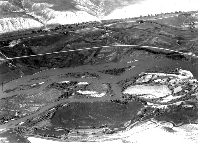
River in Idaho
The Payette River is an 82.7 miles river in southwestern Idaho and a major tributary of the Snake River. Its headwaters originate in the Sawtooth and Salmon River Mountains at elevations over 10,000 feet. Drainage in the watershed flows primarily from east to west, with the cumulative stream length to the head of the North Fork Payette River being 180 miles, while to the head of the South Fork the cumulative length is nearly 163 miles. The combined Payette River flows into an agricultural valley and empties into the Snake River near the city of Payette at an elevation of 2,125 feet. The…
What travel creators say
Flows through forested valleys and is a top spot for whitewater rafting, mixing calm stretches with wild rapids.
An 82-mile river in western Idaho known for its rapids, a training ground for early whitewater rafters, with a rapid nicknamed Swimsuit Alley.
Known for its rapids, the river became a training ground for early whitewater pioneers, with one rapid nicknamed Swimsuit Alley for capsizing so many rafts.
The main Payette River runs through Horseshoe Bend and the drive follows it north, with great kayaking and rafting tours in summer between here and Banks.
The Payette River runs through the Emmett Valley, providing fertile ground and fishing opportunities in the river and its tributaries.
The main Payette River, known for rafting, fishing and kayaking, is about a 20-minute drive north of Avimor.
Route 55 is a very scenic drive along the Payette River, an 82-mile river popular for tubers and rafters with decent whitewater rapids.