 PlaceTube
Grays Peak
Georgetown, United States · Videos: 3 · Map
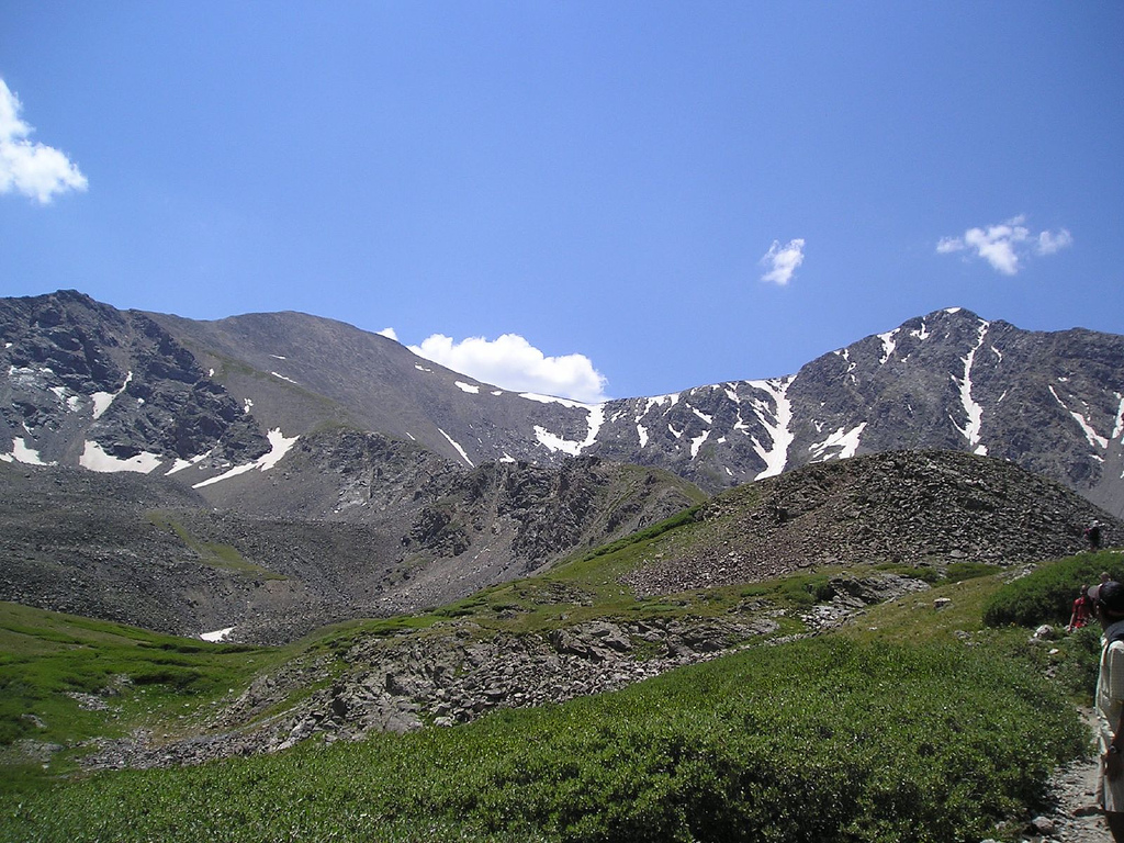
Mountain in the state of Colorado, United States
Grays Peak is the tenth-highest summit of the Rocky Mountains of North America and the U.S. state of Colorado. The prominent 14,276-foot (4351.18 m) fourteener is the highest summit of the Front Range and the highest point on the Continental Divide and the Continental Divide Trail in North America. Grays Peak is located in Arapahoe National Forest, 3.9 miles (6.2 km) southeast by east of Loveland Pass on the Continental Divide between Clear Creek and Summit counties. The peak is the highest point in both counties.
What travel creators say
Listed as a 14er suitable for strong hikers without technical climbing gear.
One of Colorado's easiest 14ers, hiked together with Torreys Peak in an 8-mile round trip from the summer trailhead.
One of two easy class 1 14ers right off I-70 at the Bakerville exit, though a 4x4 high clearance vehicle is needed to reach the trailhead; the loop is just under eight and a half miles.